Petworth Park
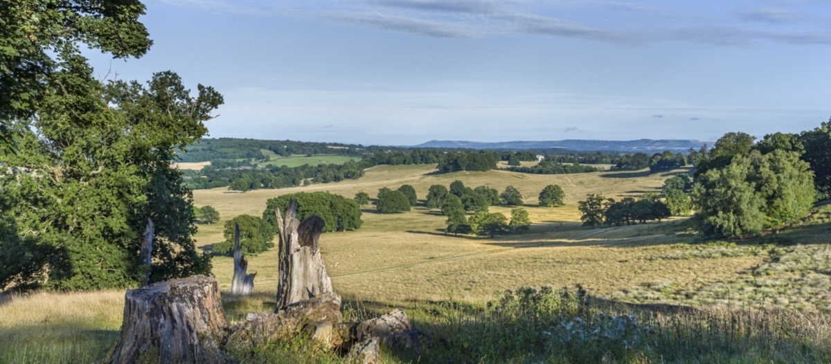
Petworth Deer Park
Photographer:
National Trust
Type of course: Virtual Terrain type: Parkland & Woodland
Overview
We have 3 courses set in the 700-acre Deer park at Petworth. The Deer Park is one of the finest surviving and unspoilt examples of an English landscape designed by Lancelot ‘Capability’ Brown. You will almost inevitably encounter the deer while on your run. the deer. You will find it difficult not to stop and admire the beauty of the park. So perhaps take time to explore the park more leisurely after your run.
Location Info
/-0.6243,51.0062,12/500x400?access_token=pk.eyJ1IjoicGF1bGZyb3N0IiwiYSI6ImNra2IwMTBmYjAycTMzMG9jd21vbHU5MTgifQ.rqFOKAS1eZHXRYlSb6G62g)
Near: Chichester Lat,Lng: 51.0062,-0.6243 Postcode: GU28 9LS What3Words: ///unloads.posting.vote
Open an interactive map in: GoogleMaps - AppleMaps - OpenStreetMap - BingMap (OS 50k)
Directions / Parking
Park at the National Trust North Car Park, 1 mile north of Petworth on the A283 (currently no booking required but please check NT website before travelling especially for opening hours; note parking fee for non-members of NT) - where the Flying Ducks cafe is - closest postcode
Courses available
MapRun directory path:
UK/Surrey/SW Surrey/Petworth
General Info
We advise that you download the courses from the MapRun server before you travel as the local mobile phone signal it not great and also to download and print the PDF course maps to navigate by.
Course maps are to be printed landscape on A4. The Short course should be printed at 1:5000 scale by scaling the print at 200% (highly recommended). Don't try to navigate by the maps in the MapRun app, especially the Long course, as they are not well enough georeferenced. Use the PDFs.
Once you have selected “Go To Start” in the App it will start the timer when it detects your GPS location to be at the Start. Avoid this happening if you think you are going to have to wait before starting. If it happens by mistake just go back to Home and Go To Start again when you are ready.
Depending on how good your phone’s GPS is, how fast you run, cloud/tree cover and probably other factors the App can take a few seconds to realise that you are at a control, so make sure you hear the audible beep or see the control circle turn green before you run on.
On a good day you can just run through the controls and all will be well. Note that the App will register any control on your course, whatever order you do them in. So they turn green even when you haven’t visited them in the right order. But there is a Finish reckoning – the App will let you know in no uncertain terms if you have mis-punched
Safety Notes
- The course has been created from Open Street Map - we can't guarantee that a route shown on the map is a legitimate right of way - please keep to public roads, paths and open spaces.
- When running the course please be aware of horse riders / cyclists / walkers - maintain social distancing and give way if necessary. Please follow the applicable government COVID-19 restrictions and the British Orienteering Covid Guidance.
- These courses are located in West Sussex (Chichester District Council). Please consider current Covid-19 restrictions. You should check current government rules for yourself as to whether this activity is permitted – don’t forget that your name will be shown in the MapRun results!
- When encountering horses, approach carefully and don't startle them - make sure they can see you clearly.
- You are responsible for your own safety - this has NOT been registered as an event with British Orienteering and is not covered by their liability insurance.