Guildford Urban
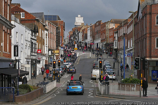
Guildford High Street
Photographer:
Alan Hunt
Type of course: Virtual Terrain type: Urban
Overview
Covering the area between the High Street, the Castle, Stoke Park and the Lido. It's a busy town and can have a lot of shoppers, so please avoid the crowds and choose a quiet time e.g. early evening, so social distancing will be easier.
Location Info
/-0.563,51.2491,12/500x400?access_token=pk.eyJ1IjoicGF1bGZyb3N0IiwiYSI6ImNra2IwMTBmYjAycTMzMG9jd21vbHU5MTgifQ.rqFOKAS1eZHXRYlSb6G62g)
Near: Guildford Lat,Lng: 51.2491,-0.563 Postcode: GU1 1UP What3Words: ///toys.dame.acute
Open an interactive map in: GoogleMaps - AppleMaps - OpenStreetMap - BingMap (OS 50k)
Directions / Parking
Parking is at the Guildford Spectrum Park and Ride Car Park (GU1 1UP) and is free.
Courses available
MapRun directory path:
UK/Surrey/SW Surrey/Guildford Urban v1
General Info
This is a 60 minute score course with 40 controls and a penalty of 10 points for each (part) minute over. It's at 1:7500 scale in Street-O style, with different colours to the traditional orienteering maps - the key difference is that white means no access unless clear on the ground.
The "Map" link gives you an A4 (Portrait) pdf to download, Control Descriptions and Safety Notes are included as the 2nd page of the map. To see the score, finishing time and tracks of other runners, use the "Results" , "Tracks" links.
The Start and Finish is at the Pelican crossing South West of the Leisure Centre, near Wild Wood Adventure - on the south side of the A25 (Stoke Park side) - picture below shows westbound A25 - the Start/Finish is the left hand side Pelican control that's visible.
When you pass the Finish control, then it will stop the timer, once you have started and found at least other control.
If you enjoy this course then you might also be interested in our Cranleigh, Farncombe and Farnham Urban Score courses.
Safety Notes
- The course has been created from Open Street Map - we can't guarantee that a route shown on the map is a legitimate right of way - please keep to public roads, paths and open spaces.
- When running the course please be aware of residents / town centre users / walkers - maintain social distancing and give way if necessary. Please follow the applicable government COVID-19 restrictions and the British Orienteering Covid Guidance.
- This course is located in Surrey. Please consider current Covid-19 restrictions. You should check current government rules for yourself as to whether this activity is permitted – don’t forget that your name will be shown in the MapRun results!
- When in Stoke Park please avoid crossing the sports pitches if they are in use, don't run into the path of the occasional park maintenance vehicles and look out for cyclists on the shared-use cycle paths.
- You will need to cross many roads within Guildford, some busier than others - check for traffic before you cross! For this reason, under 16s MUST be accompanied by a responsible adult. Please use Pelican crossings where possible.
- You are responsible for your own safety - this has NOT been registered as an event with British Orienteering and is not covered by their liability insurance.