Farncombe Urban
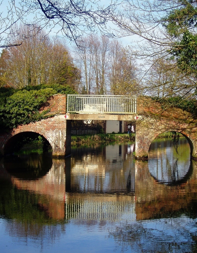
Trowers Bridge Farncombe
Photographer:
Fotosforfun2 - 1
Type of course: Virtual Terrain type: Urban & Parkland
Overview
Farncombe (just north of Godalming, Surrey) is our 1st MapRun “virtual” course – you might remember our event from October 2018 based at Charterhouse school covering some of the same area but this version also includes the pleasant Broadwater Park and the River Wey Navigation.
Location Info
/-0.5964,51.1992,12/500x400?access_token=pk.eyJ1IjoicGF1bGZyb3N0IiwiYSI6ImNra2IwMTBmYjAycTMzMG9jd21vbHU5MTgifQ.rqFOKAS1eZHXRYlSb6G62g)
Near: Godalming Lat,Lng: 51.1992,-0.5964 Postcode: GU7 3BJ What3Words: ///rock.factor.doll
Open an interactive map in: GoogleMaps - AppleMaps - OpenStreetMap - BingMap (OS 50k)
Directions / Parking
Parking is at Broadwater Park (entrance by the Leisure Centre), off Summers Road, Farncombe GU7 3BH. There are currently no parking charges. If the car park is full, then you should be able to find a space on Summers Road.
Courses available
MapRun directory path:
UK/Surrey/SW Surrey/Farncombe Urban
General Info
A 60 minute score course with 40 controls and a penalty of 10 points for each (part) minute over. Most of Farncombe is flat, but you’ll need to climb to get to some of the high value controls. The map is at 1:10000 scale in Street-O style, with different colours to the traditional orienteering maps – the key difference is that white means no access unless clear on the ground.
| Scoring | |
|---|---|
| Controls | Score |
| 1-10 | 10 |
| 11-20 | 20 |
| 21-30 | 30 |
| 31-40 | 40 |
The “Map” link above gives you an A4 (Landscape) pdf; Control Descriptions and Safety Notes are included as the 2nd page of the map. If viewing with the Firefox browser, the Out of Bounds Areas are not shown correctly. Edge / Chrome browsers and Adobe Acrobat should be OK.
Farncombe is bisected by a railway line and there are level crossings on either side of the station marked “LC” on the map. If the barriers are coming down please be patient and wait. To avoid the risk of undue delay, you could plan to use one of the 3 railway footbridges marked in purple on the map, of which one is at the station itself (see Safety Notes below).
The Start and Finish is the Flagpole at the southern end of the Car Park, on the left of the tennis courts, which you can see in the picture below (you may need to zoom in).
When you pass the Finish control, then it will stop the timer, once you have started and found at least one other control – so please bear this in mind if using the route exiting Broadwater Park south west towards the car park off Nursery Road which passes the Flagpole i.e. do this at the very start or at the very end to avoid your run being prematurely terminated!
Safety Notes
- The course has been created from Open Street Map – we can’t guarantee that a route shown on the map is a legitimate right of way – please keep to public roads, paths and open spaces.
- When running the course please be aware of residents / town centre users / walkers – maintain social distancing and give way if necessary. Please follow the applicable government COVID-19 restrictions and the British Orienteering Covid Guidance.
- This course is located in Waverley, Surrey. Please consider current Covid-19 restrictions. You should check current government rules for yourself as to whether this activity is permitted – don’t forget that your name will be shown in the MapRun results!
- If using Farncombe station footbridge, you must wear a face mask. This footbridge is annotated with “MASK” on the map.
- Running is permitted on the (National Trust) River Wey towpath, but care must be taken and pedestrians should be given right of way. If the towpath is busy, then do not run (you can always repeat the course at a quieter time).
- You are responsible for your own safety – this has NOT been registered as an event with British Orienteering and is not covered by their liability insurance.
- You will need to cross many roads, some busier than others – check for traffic before you cross! For this reason, under 16s MUST be accompanied by a responsible adult.
Nearest A&E Hospital
The Royal Surrey in Guildford GU2 7XXFacilities
There are several nearby options for food and drink.
Dog restrictions
Well-behaved dogs on a lead.