Stoke Park
Guildford Stoke Park
Photographer:
Guildford Borough Council
Type of course: Virtual Terrain type: Parkland & Woodland
Overview
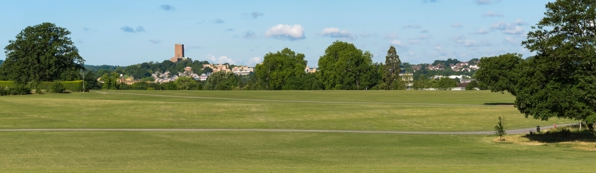
Our Guildford Stoke Park MapRun "virtual" course is suitable for juniors as well as adults since its fully contained within the park so no roads!! ! It has been the largest public park in Guildford for nearly 100 years, with the terrain mostly open with a small section of woodland. It does include sports pitches so please avoid crossing them when in use. It's over the road from the Guildford Spectrum so is easy to find!
The map scale is 1:5000 (1cm = 50m) and is similar to a traditional orienteering map - white denotes the small areas of woodland
Location Info
/-0.5631,51.2455,12/500x400?access_token=pk.eyJ1IjoicGF1bGZyb3N0IiwiYSI6ImNra2IwMTBmYjAycTMzMG9jd21vbHU5MTgifQ.rqFOKAS1eZHXRYlSb6G62g)
Near: Guildford Lat,Lng: 51.2455,-0.5631 What3Words: ///radio.lend.backs
Open an interactive map in: GoogleMaps - AppleMaps - OpenStreetMap - BingMap (OS 50k)
Directions / Parking
Parking is available at the Guildford Spectrum Park and Ride Car Park (GU1 1UP) and is free.
Courses available
MapRun directory path:
MAPRUN DIRECTORY: UK/SURREY/SW SURREY/GUILDFORD STOKE PARK
Guildford Stoke Park Score, Score course, 30min, 30 controls
Download PDF of map
Guildford Stoke Park Short A, Line course, 3.1Km, 17 controls
Download PDF of map
Guildford Stoke Park Short B, Line course, 2.9Km, 18 controls
Download PDF of map
Guildford Stoke Park Novice Score, Score course, 30min, 30 controls
Download PDF of map
Guildford Stoke Park Novice Short, Line course, 2.2km, 17 controls
Download PDF of map
General Info
We have a choice of courses available in Stoke Park
- A 30 minute Score course with 30 controls (maximum 600 points) - penalty of 10 points for each (part) minute over.
- Short Course A - line course of nominal length 3.1km
- Short Course B - line course of nominal length 2.9km
Score Control 21 – Extra Challenge !!
The Football Pitch goalpost has been temporarily removed, but you should see evidence of the pitch and it is close to the Geoff Killick bench.
For beginners / younger juniors, two shorter options with position and track shown on the MapRun App (this should make navigation easier!):
- A 30 minute Novice Score course with 30 controls (maximum 600 points) - penalty of 10 points for each (part) minute over.
- Novice Short course - line course of nominal length 2.2km
On Score courses, controls can be visited in any order within the 30 minutes and you don't need to find them all. If you take longer than 30 minutes then you start losing points - 10 points for each part minute over!
With line courses, all the controls must be visited in the correct order i.e. 1,2,3 etc (or else MapRunF will report "MisPunch" when you get to the end) and there is no time limit. Don't worry if you accidentally visit a control before you should have, just make sure you visit that control again in the correct numerical sequence.
Once you get to the Finish control, MapRun will check the controls you have visited, calculate your results and then upload them.
It is easier to follow a printed map - the "Map" links below give you A4 (Landscape) pdfs to print out – if you print it out ‘Actual Size’ then the scale will be correct at 1cm = 50m. The Control Descriptions are included on the map.
Control Descriptions for Score courses have the value of the control in points in the 2nd column - this can be 10, 20 or 30 points so some controls are more valuable than others (usually the ones furthest away from the start or those more difficult to find) - it helps to plan your route before you start! The Control Descriptions for line courses may have a control code in the 2nd column, you don't need to worry about this - it isn't relevant for MapRunF courses.
Parts of Stoke Park can get a bit muddy, so you'll need suitable footwear. And a compass may be helpful as a few of the control descriptions refer to north west, south east etc. but it's not essential and you're unlikely to get lost. If you haven't got a traditional compass, then try downloading a compass app to your phone.
There are a few other safety issues you should be aware of, so please give our Safety Notes a read - see below. They're also included with the map pdf.
The Start and Finish is the Wild Wood Treetop Adventure sign close to the Pelican crossing South West of the Leisure Centre - on the south side of the A25 (Stoke Park side) - picture below shows westbound A25.
Safety Notes
- The courses have been created from Open Street Map - we can't guarantee that a route shown on the map is a legitimate right of way - please keep within Stoke Park and away from public roads.
- When following your course be aware of other park users e.g. dog walkers, sports players - maintain social distancing and give way if necessary. Please follow the applicable government COVID-19 restrictions and the British Orienteering Covid Guidance.
- The courses are located in Guildford, Surrey. Please consider current Covid-19 restrictions. You should check current government rules for yourself as to whether this activity is permitted – don’t forget that your name will be shown in the MapRun results!
- There are many football, rugby, lacrosse and cricket pitches on Stoke Park - please avoid crossing them if they are in use. There are a few controls at football pitch goalposts - these should be triggered well before you get there (up to 5m away), so no need to get too close to the pitch!
- The tarmac paths on Stoke Park are shared-use cycle paths too, so look out for cyclists.
- There are occasional park maintenance vehicles - don't run into their path!
- There is a ditch, unfenced on its western side, near the Skate Park (by Guildford College) - the Short A & B courses have controls at either end. Take care if approaching this feature!
- You are responsible for your own safety - this has NOT been registered as an event with British Orienteering and is not covered by their liability insurance.